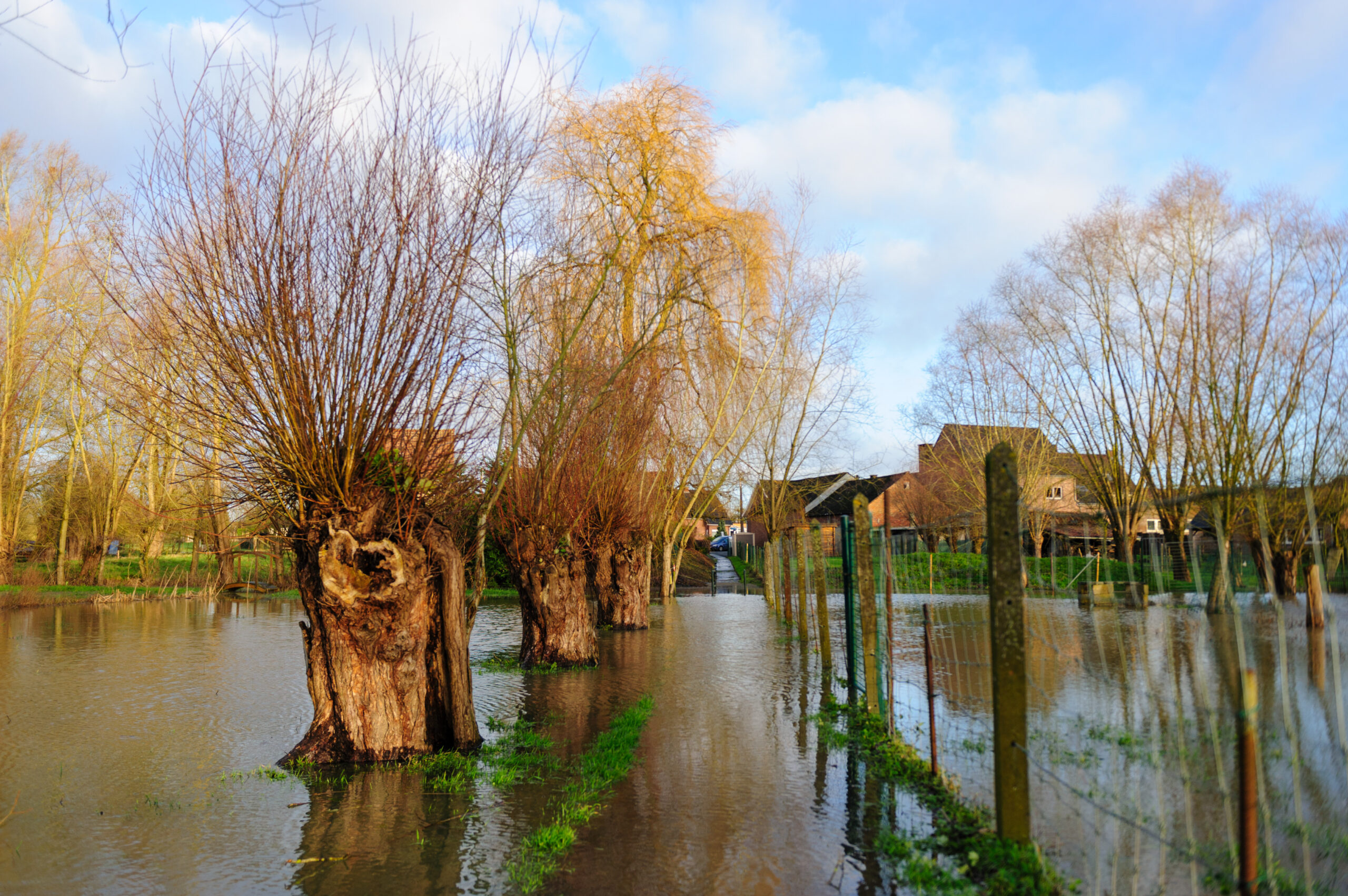
Our Aquaspice monitoring network at the Albert Canal is playing an important role in controlling the potential pollution impact of the disastrous floods in Wallonia this July.
Water-link and VITO installed a sensor network to monitor the impact of (extreme) drought on the water system and the drinking water production. Now it is also showing its value to follow up potential raw water pollution caused by e.g. flood events.
The floods that affected the Wallonia region in Belgium caused an important temporary pollution event in the Meuse River due to runoff water and increased suspended solids. The Meuse water partly ends up downstream in the Albert Canal, thus possibly causing additional pollution in the Albert Canal.
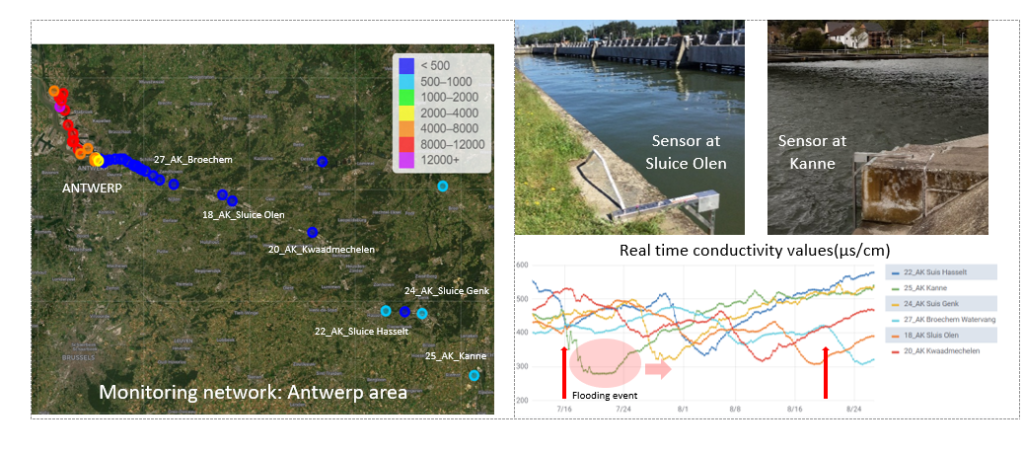
Water-link abstracts water from the Albert Canal for its drinking water production. Therefore additional and thorough monitoring of the intake water is vital. The sensor network and online visualization dashboards provided by VITO, allowed Water-link to monitor the expected duration of the change in raw water quality, the progression of the flooding water throughout the Albert Canal, and to predict the ETA of the flooding water at the raw water intake at Broechem weeks in advance.
Furthermore, the monitoring network, measuring conductivity, temperature and depth, facilitated water-link to continuously pinpoint the exact location of the flooding water, low in conductivity, and perform sampling and laboratory analysis and screening efforts accordingly. Hereby water-link could demonstrate the absence of pollutants and the good quality of the raw water during its weeklong passage (36 days) from Liège (on 16/07) to the raw water intake at Broechem (on 20/08).
The monitoring network is part of Aquaspice’s case study #3. Water-link, responsible for sensor placement and maintenance, has closely worked with VITO, coordinator of the case study, for the installation of 45 CTD sensors for online monitoring of the water quality in the Antwerp zone, covering the Antwerp Harbor, the Albert Canal and upstream areas. In total, a geographical length of 120 km from the river Meuse to the river Scheldt is covered.